Districts
Diedenbergen has been a district of Hofheim since 1972 and is centrally located at the intersection of the A 3 (Cologne - Frankfurt) and A 66 (Wiesbaden - Frankfurt) highways.
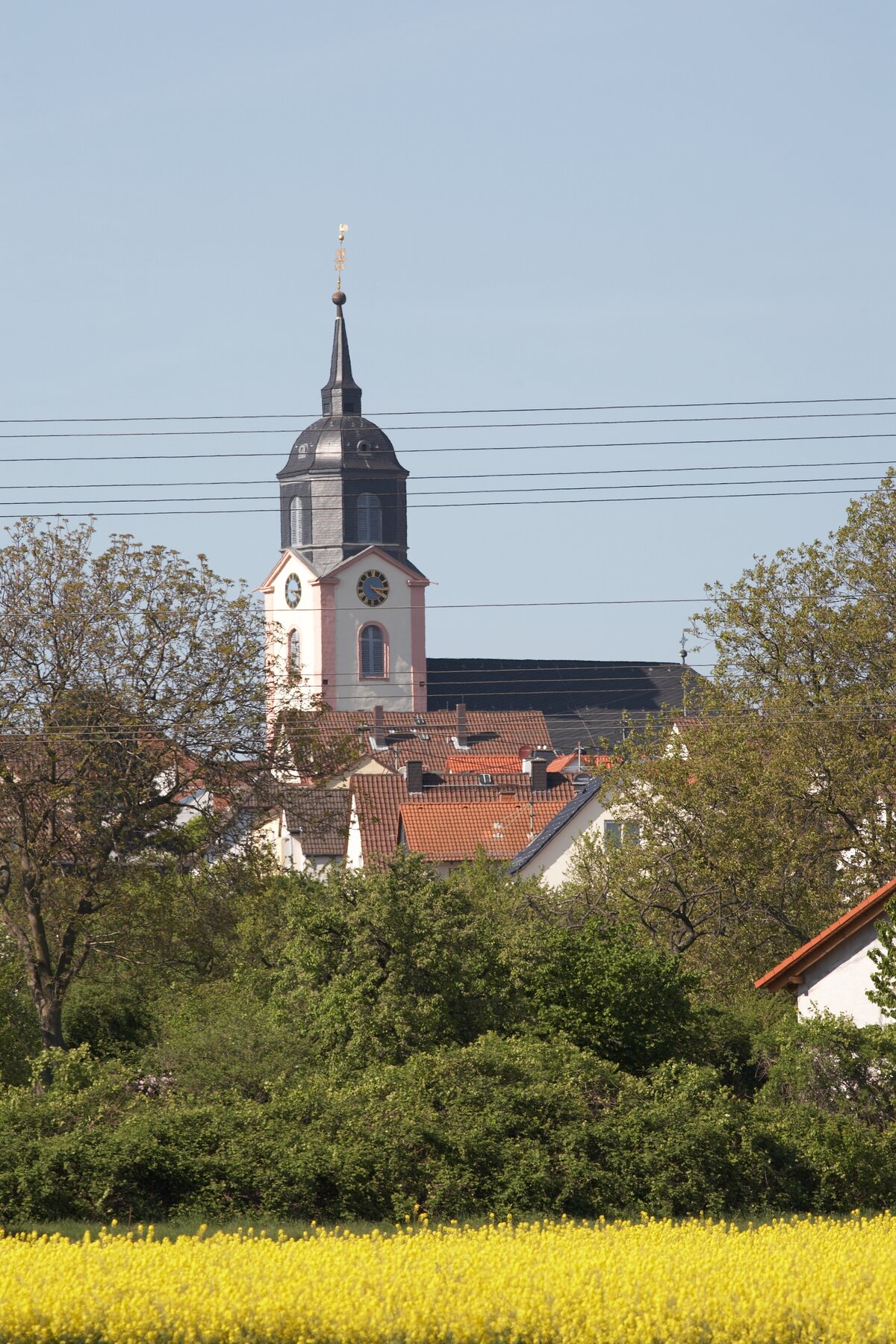
The village lies on the slope of a wooded Taunus foothill and can be seen from afar due to its hillside location.
The first mention of the village can be found in a land description from 1366. In the district, burial mounds from around 500 BC bear witness to the early settlement. The historic "Stone Road" of the Romans, later called "Elisabethenstraße", runs through the middle of the village. Today it bears the name "Casteller Straße" and is still the main road and thoroughfare.
The town center is dominated by the Protestant church, which was built between 1754 and 1756. It houses a very special treasure: the rococo organ by the renowned organ builder Johann Conrad Bürgy (1721 - 1792). Philipp-Keim-Straße 7 is the home and death house of the blind newspaper singer Philipp Keim (1804 - 1884) who, accompanied by his wife Lisbeth, toured the Nassau countryside with his barrel organ and passed on political and other events to the people in song form.
The municipal vineyard on Wickerer Berg is a link to Diedenbergen's old wine-growing tradition. An educational wine trail, which can be followed all year round, provides information about the work of the winegrowers.
You can find more information about Diedenbergen on the private website
Langenhain is located northwest of Hofheim and is the highest part of the town - the Judenkopf is 410 meters above sea level.
Langenhain has been part of Hofheim since 1972.
Its location with an unobstructed view of the Rhine-Main plain was already the basis for extensive settlements in prehistoric times, as a field of burial mounds (around 500 BC) attests. Langenhain was first mentioned in a document in 1309. Forestry, livestock farming and agriculture were the meagre sources of income for the inhabitants. An additional source of income came from peeling the oak trees. The "bark peelers" delivered their yield to the leather industry, which used it to produce tan for tanning cowhide.
Worth seeing in the small village are the Protestant church, built in 1748 on the foundations of its predecessor, and the "Häuschen", the seat of the local heritage and history association. In the small half-timbered house you can see numerous objects from the local history and the traditional Langenhain costume, which was only worn in this "mountain village". The "Haus der Andacht" was inaugurated in 1964 after seven years of construction.
You can also find out more about Langenhain on the private website:
Lorsbach has been a district of Hofheim since 1972.
The village lies in the narrow valley of the Schwarzbach stream and is surrounded to the west and east by the wooded slopes of the Taunus foothills.
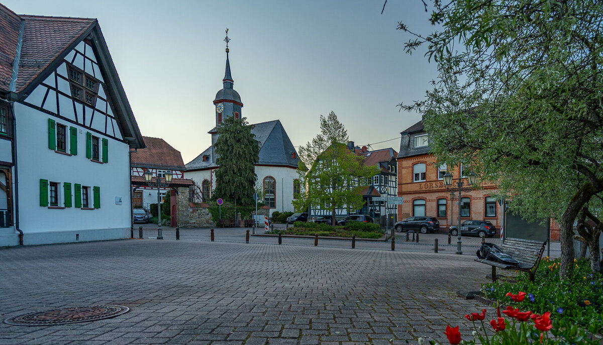
The ring fortress - known as "Alteburg" - in the Schlingswald forest dates back to the early Middle Ages. The first definite mention of the village appears in 1280/85 in the so-called Eppstein feudal register. According to this manuscript, Lorsbach must have already been a settlement of several farmsteads at that time. The inhabitants earned their living in the grinding mills and hammer mills that existed at the time, driven by the water power of the Schwarzbach. In 1881, the first leather factory was founded in the Trutzmühle. By the beginning of the 20th century, further tanneries had been established in the former mills.
After the Second World War, and increasingly since the 1960s, the decline of this once flourishing industry began. The scenic location and the lovingly designed town center make Lorsbach an attractive local recreation destination. Hikes to the "Gundelhardt" (excursion restaurant), to the "Walterstein", a striking rock, or to the nearby Eppstein Castle are as attractive to visitors today as they were then.
You can also find more interesting facts about Lorsbach and its history on the private websites:
Marxheim is the oldest district of Hofheim: it was incorporated in 1938.
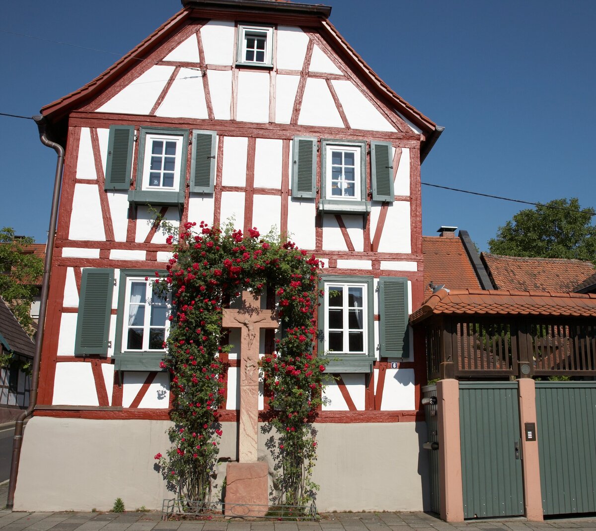
The village lies approximately 130 to 200 meters above sea level and nestles in a bay open to the south on the foothills of a Taunus hill. Corresponding finds prove that Marxheim's soil was already inhabited in prehistoric times. The first documentary mention dates back to 1191. As early as 1366, a church and tower are mentioned for Marxheim and even today the Catholic parish church of St. Georg (successor building built from 1843 to 1845) towers above the half-timbered houses in the old town center. The oldest of these dates back to the 17th century.
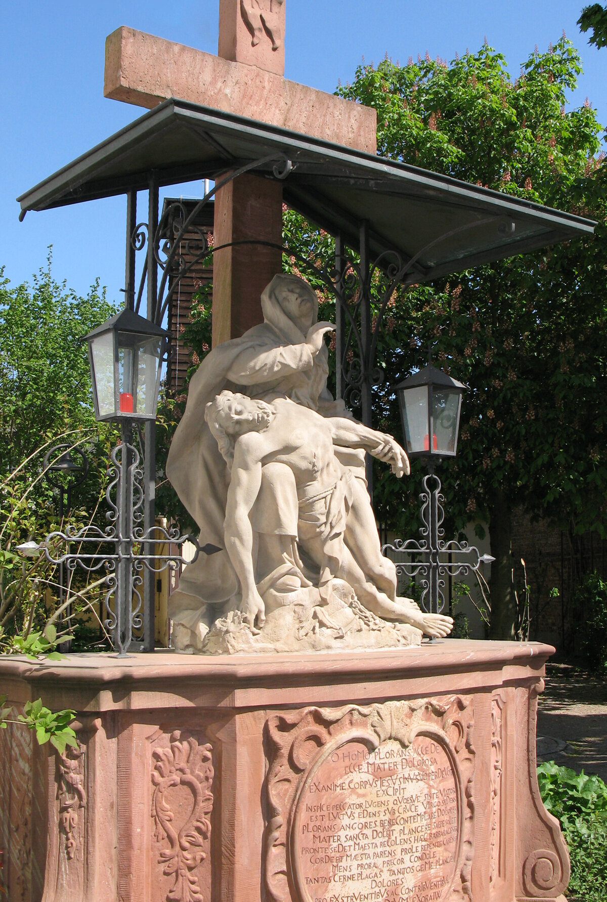
There are numerous reminders of the past to be discovered in the village. In the lower section of Schulstraße, you will come across a carefully restored half-timbered chapel, and in the upper section, the "Pieta". A citizen of Marxheim received this mourning group made of yellow and red sandstone as a gift from the Franciscans in 1802. It was not until a year later that the stone image - depicting the Sorrowful Mother of God with her son in front of the cross - could be erected in the village.
You can find more information about Diedenbergen on the private website
- www.geme inde-marxheim.de
Wallau has been a district of Hofheim since 1977.
Wallau is located at the confluence of three streams on a slightly south-facing slope in front of a foothill of the Taunus. Water and forest gave the village its name. In a deed of donation from the year 950 by King Otto I, the place is referred to as "Wanaloha": Wana = water, Loha = forest. A Latin school was established in 1563 and a weekly market was held from 1572. From 1643 to 1817, Wallau was the official town of the Protestant "Ländchen".
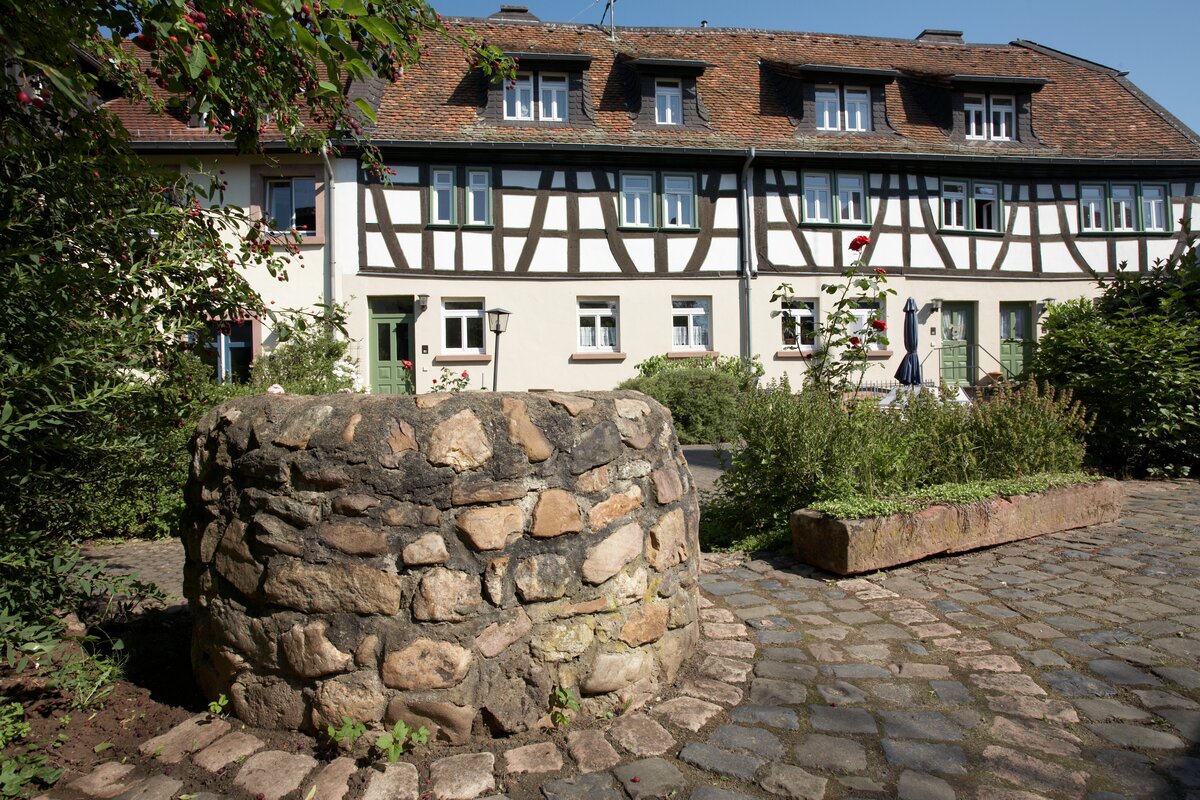
Large farmsteads still bear witness to the former importance of this village. The inhabitants are particularly proud of their restored town center with the Recepturhof and the old town hall as well as the adjacent half-timbered farmsteads. Sandstone plaques with explanatory texts attached to the historic houses and buildings invite you to take a tour. The construction of the road between Frankfurt and Wiesbaden (now the A 66 highway) in 1813 not only gave the residents good transport links, but also another monument: the Wandersmann obelisk.
Due to the expansion of the road into a highway and its later widening, the obelisk was moved several times and now stands in the triangle between highways 66 and 3.
Wildsachsen has been a district of Hofheim since 1977. It lies between the Taunus foothills in the Seynbach valley.
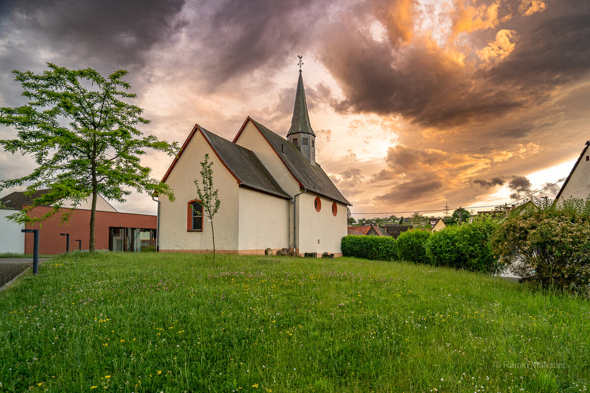
The village was first mentioned in 1107 in a document from the monastery of St. Alban in Mainz. The inhabitants received their first chapel in 1145, which was rebuilt and extended in 1706. Today, the 800-year-old church is the eye-catcher of the village. Fruit growing and agriculture were among the main occupations of the inhabitants. Until the 1960s, the population only grew slowly as there were neither enough jobs nor public transport in Wildsachsen. This only changed with the development of larger building areas and the connection to a denser transport network. But Wildsachsen is still the smallest district of Hofheim, embedded in meadows, forests and fields.
Further information about Wildsachsen can also be found on the private websites:

